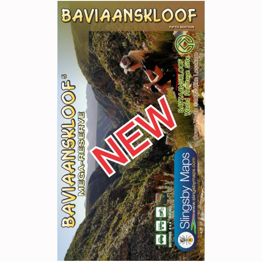




Features
• All roads, tracks, paths and 4x4 routes are marked.
• Full GPS details are shown at every major road junction in DD MM SS format.
• Kilometer distances are indicated between major intersections.
• 20 meter contours and colour height-shading of the topography of the kloof.
• All the latest tourism information, attractions and accommodation are mapped.
• Contact details for all accommodations are listed.
Specifications
• A2+ double-sided full colour map
• Scale 1:125 000 (8cm = 10km)
• 20m contours
• Relief shading
• 1' Long/Lat grid
• Coordinates in DD MM SS format at every road-junction
• Waterproof and tear resistant in plastic sleeve