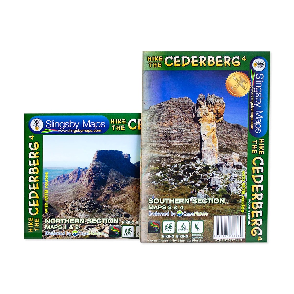
The maps are printed on Duraflex waterproof material and are packaged together in a folding slipcase. The maps are not available separately.
More than a hundred hikers, mountaineers, conservationists and locals have contributed their special knowl- edge to the project, which has been proudly endorsed by CapeNature.
Every single public footpath has been researched on foot, and the maps include distances between path junctions, as well as GPS coordinates, altitudes, etc. etc.
The maps also detail:
• Popular bouldering sites, as well as the complex of fine mountain biking trails around Dwarsrivier/Sanddrif and other locations
• Caves, perennial water, pools, dramatic rock formations and sites of historical importance (but caves that have rock art are not shown except in supervised situations such as the Sevilla Trail)
• The famous Cederberg shalebands, dense vegetation, cedar plantations, prominent rock screes and rockfalls, OVER 12 000 TREES!! etc etc
• The best places to stay from which your hikes might be launched, with their telephone numbers
We spent many delightful days enjoying the warm hospitality of the local communities, gathering more than 500 authentic place names which have never appeared on any maps before. We can proudly claim that these are the best and most definitive hiking maps of the Cederberg ever produced.
Cederberg Mountains in the Western Cape Province on a set of two double-sided, waterproof and tear-resistant, GPS compatible hiking maps at 1:40,000 from Slingsby Maps, providing a vivid picture of the topography with hiking trails and detailed road network, tourist facilities and places of interest, etc.
The set shows the Cederberg Mountain range, complementing the publishers’ wider coverage of the Cederberg region on a touring map at 1:160,000. Contours at 20m intervals, enhanced by relief shading, altitude colouring, plus colouring and/or graphics for different types of terrain and vegetation, provide an excellent representation of the topography. Various ranges, peaks and passes are named and lots of additional spot heights are marked. An overprint highlights various hiking trails, indicating head trails, permit requirements, waymarking for special routes, etc. Also marked are tracks and footpaths not recommended for hikers.
Road network indicates untarred roads, 4WD routes or roads requiring high clearance, private roads where owners’ permission may be required, etc. Important junctions and other locations are annotated with GPS waypoints. Symbols indicate various facilities and places of interest including various types of tourist accommodation (lodges, guest houses, B&Bs, campsites, etc), restaurants, picnic places, local arts and crafts shops, petrol stations, wineries, sport and recreational facilities, etc. In addition to the GPS waypoints the maps have a latitude and longitude grid at intervals of 1’.
| Weight | 175.00 g |
|---|---|
| Dimensions | 23 × 15.5 × 1.5 cm |
| ISBN | 978-1-920377-48-9 |
| Countries | South Africa |
| Edition | 4 |
| Publication Date | 2021 |
| Product Type | Folded Laminated Hiking Map |
| Location | Cederberg Mountains, Western Cape |
| Scale | 1:40,000 |
| Size & Binding | A1 |