Features
- Colour-shading and contours at 20m intervals make the distinctive mountains of the Table Mountain National Park stand out clearly.
- All Cape Town’s southern suburbs, main roads, railways, footpaths, etc. are accurately mapped and named.
- More than thirty different kinds of facilities are keyed, from theatres to mountain biking, restaurants to whale-watching.
- 500 places of special interest are named, listed and keyed on the map.
- Built up areas, industrial areas, informal settlements, cemeteries, sports grounds, shopping centres, cultivated lands, education sites, police stations, and post offices are detailed.
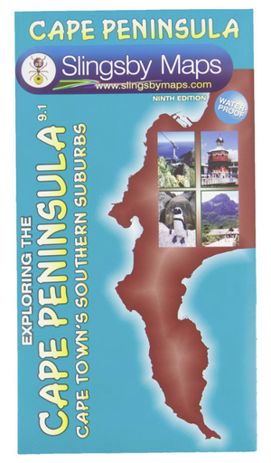
- This is the most detailed and up-to-date map of the Cape Peninsula on the market.
- There is a comprehensive list of attractions keyed to the map.
- An inset map of Robben Island is included.
Specifications
- Both sides: A2+ full colour maps
- Scale: 1:50 000 (2cm = 1km)
- 20m contours; relief shading
- 2km square grid
- Coords in DDMM.mm format at important junctions