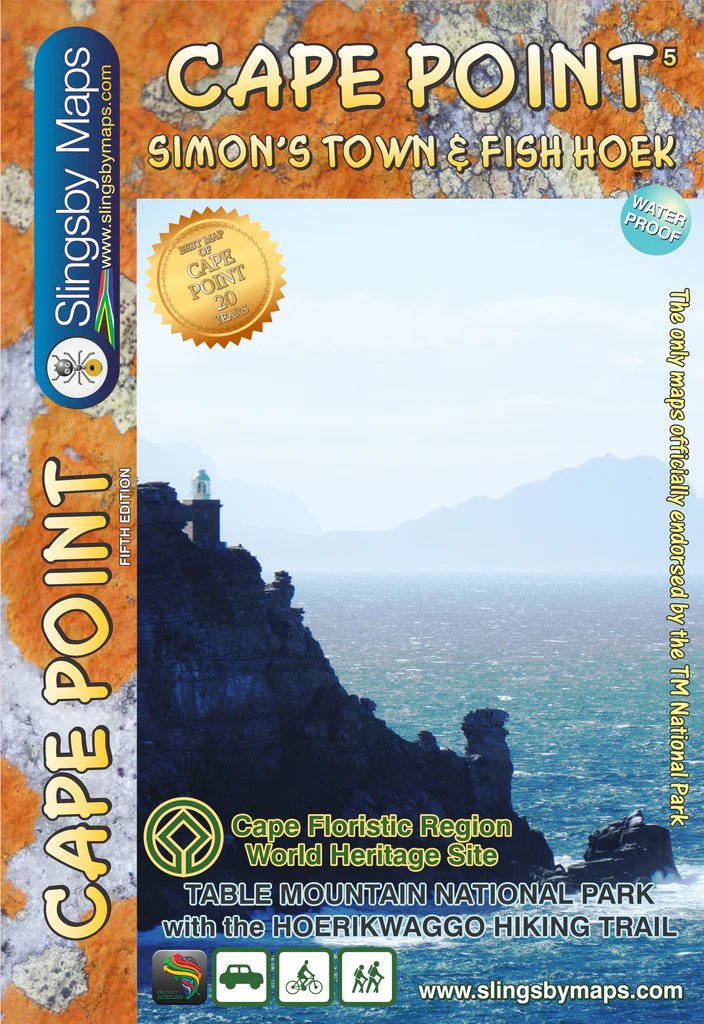
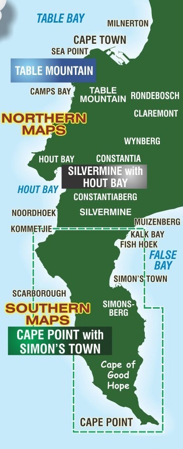
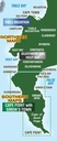

The Slingsby Cape Point Paper Map features the Cape Point side, covering the entire Cape Point Nature Reserve. It stretches south from Miller’s Point and Klaasjagers to Cape Point and the Cape of Good Hope.
On the reverse, the Simon’s Town side extends from Kommetjie to Fish Hoek and Kalk Bay. It then continues south to Glencairn, Simon’s Town, and Miller’s Point, and stretches west to Red Hill, Scarborough, and Witsand.
Detailed Coverage
Together, the two sides present Cape Point, the southern half of the Cape Peninsula, and Table Mountain National Park. It includes Simon’s Town on a double-sided, contoured map.
Topographic Precision
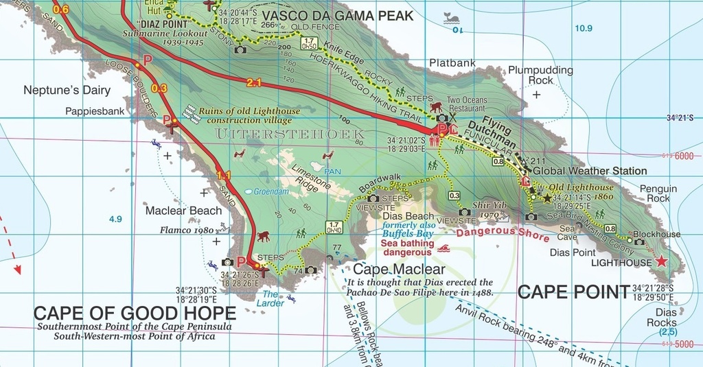
The Slingsby Cape Point Paper Map features contours at 5m intervals, and additionally, it uses colour to highlight woodlands and sandy areas. Moreover, it marks numerous spot heights and clearly names key topographic features.
Protected Areas Clearly Marked
You’ll see boundaries for nature reserves and restricted entry zones. This ensures you explore responsibly.
Roads and Trails
The road network distinguishes private roads (with or without public access), signposts, and parking areas. Additionally, hiking trails include distances, walking times, and clear guidance on recommended or restricted sections on this Slingsby Cape Point Paper Map.
Highlights and Facilities
Extensive overprints highlight key facilities and places of interest, including drinking water points, viewpoints, recreational sites, wildlife viewing spots, campsites, tourist accommodation, and restaurants.
Visitor Extras
Includes color photos that showcase local fauna and flora. Additionally, notes share practical tips for visitors.
- Water and tear resistant in plastic sleeve.
- The Slingsby Cape Point Paper Map clearly marks all approved paths with DDMMSS GPS coordinates at major junctions. It also shows distances and walking times for each section.
- Shows topography vividly with 5m contours and subtle color shading.
- The Slingsby Cape Point Paper Map features photos and notes on key points of interest. In addition, it includes a unique topo graph showing distances and directions to major cities worldwide.
- The map also includes hydrographic data from the SA Navy, marking sea floor details, rocks, and wreck hazards offshore—making this the first South African land map to feature such information.
- The map features a double-sided design, with Cape Point on one side and Simon’s Town—including Kommetjie, Glencairn, Fish Hoek, and Kalk Bay—on the reverse, along with the Hoerikwaggo Trail.
- The Slingsby Cape Point Paper Map offers a 1:20,000 scale packed with hiking trails and rich tourist information.
- For precise navigation, the map provides GPS waypoints for road junctions and key locations. It also includes UTM grid lines at 200m intervals, and latitude/longitude lines at 1′ intervals.
| Weight | 90.00 g |
|---|---|
| Dimensions | 23 × 16.5 × 1 cm |
| ISBN | 978-1-920377-42-7 |
| Countries | South Africa |
| Product Type | Paper Maps |
| Scale | 1:20,000 |
| Location | Western Cape, South Africa |
| Editon | 5 |
| Publication Date | 2021 |