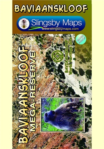
This is the only comprehensive map of the whole of the Baviaanskloof Conservation Area, part of the Baviaanskloof Mega-Reserve and a World Heritage Site. The map is fully GPS compatible and will enable you to explore this fabulous, rugged wilderness, its geological marvels, it’s extraordinary flora and fauna, and the poignant reminders of its Khoisan past.
• All roads, tracks, paths and 4x4 routes are marked.
• Full GPS details are shown at every major road junction in DD MM SS format.
• Kilometer distances are indicated between major intersections.
• 20 meter contours and colour height-shading of the topography of the kloof.
• All the latest tourism information, attractions and accommodation are mapped.
• Contact details for all accommodations are listed.
• A2+ double-sided full colour map
• Scale 1:125 000 (8cm = 10km)
• 20m contours
• Relief shading
• 1' Long/Lat grid
• Coordinates in DD MM SS format at every road-junction
Extra Feature: Waterproof and tear resistant in plastic sleeve
ISBN 978-1-920377-32-8