
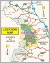
Slingsby Drakensberg Central Maps 3 & 4
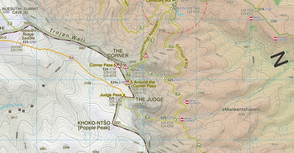
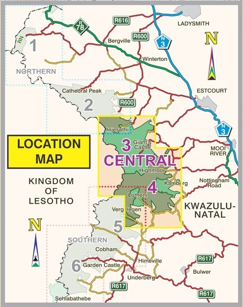
This double‑sided A1-sized map is the second of three maps in the latest edition of our famous “Slingsby” Drakensberg map series. Side One covers the area from Injesuthi southwards through the Giants Castle Game Reserve to Highmoor and Mkhomazi Wilderness. Side Two details Highmoor itself and the Mkhomazi Wilderness, including Lotheni and Kamberg.
The map is printed on Duraflex waterproof material, tear resistant and is packaged in a plastic pocket.
Data collected over many years has informed the latest edition of this first-ever recreational map series of the KZN Drakensberg. Conceived in the mid 1970s this edition has been updated with carefully geo-referenced tracks of all the approved routes, coordinates and heights of path junctions, difficulty-ratings for the escarpment passes and a host of other details – the details that make Slingsby maps unbeatable.
| Weight | 90.00 g |
|---|---|
| Dimensions | 23 × 16.5 × 1 cm |
| ISBN | 978-1-920377-51-9 |
| Countries | South Africa |
| Edition | 3 |
| Publication Date | 2023 |
| Product Type | Folded Waterproof Hiking Map |
| Location | Drakensberg Mountains, Kwa-Zulu Natal |
| Scale | 1:50,000 |
| Size & Binding |