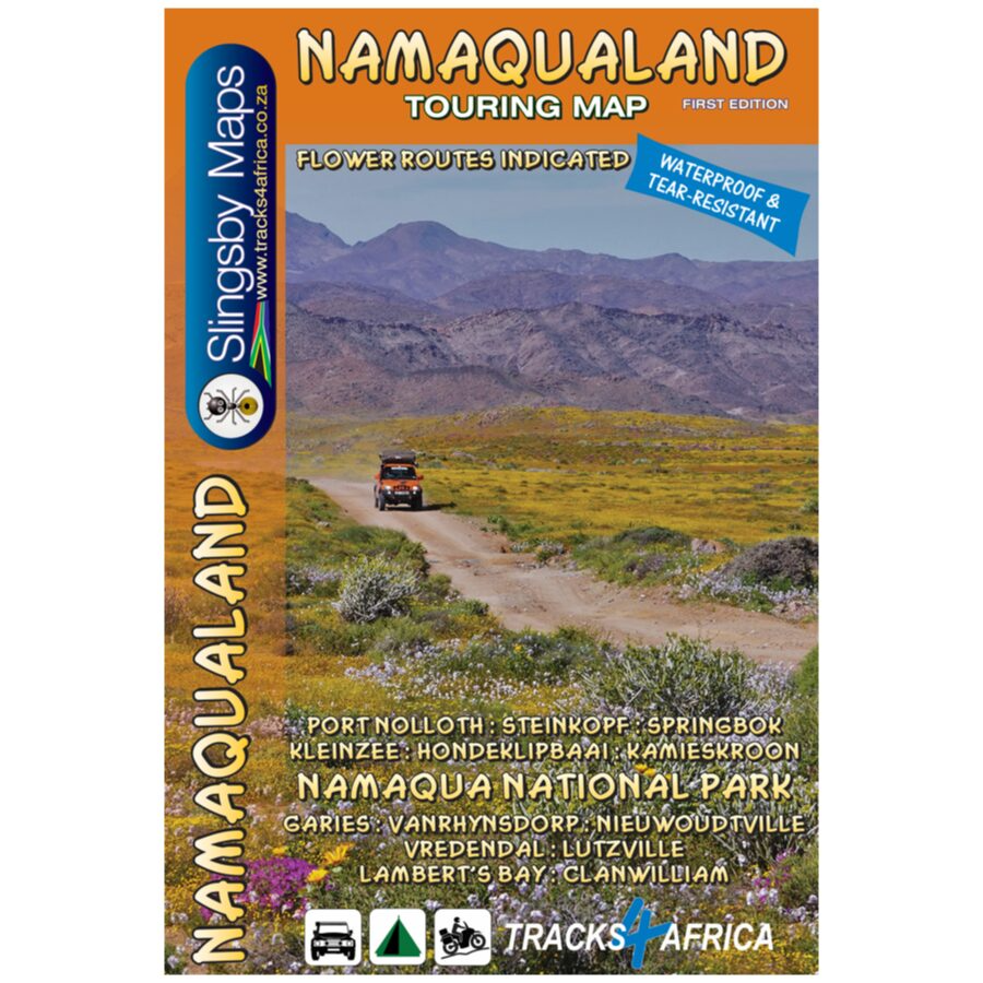


The Namaqualand Touring Map is purpose-built for immersive road trips and detailed exploration. At a scale of 1:250 000, it not only guides you along the region’s main routes but also reveals the hidden tracks and lesser-known roads. These invite further discovery throughout this iconic landscape.
Coverage Area: Extending from Clanwilliam in the south to Port Nolloth and Vioolsdrift in the north, the map captures the heart of Namaqualand and beyond. To the west, it follows the rugged West Coast. Meanwhile, to the east it reaches well beyond the N7 to include the scenic Kamiesberge and the renowned wildflower landscapes around Niewoudtville.
Park Highlights: The map includes the entire Namakwa National Park and, furthermore, clearly highlights the Caracal Eco Trail. This makes navigation straightforward and helps travellers explore this remarkable landscape with confidence.
- Covers the Namaqualand flower region.
- Flower routes indicated by a daisy
- Includes the entire Namakwa National Park
- Caracal Eco Trail
- Purpose-built for detailed road trips
- Detailed touring map at 1:250 000 scale
- Coverage: From Clanwilliam (South) to Port Nolloth & Vioolsdrift (North). West Coast (West) to N7 – Kamiesberg & Niewoudville (East).
- Easily navigate all roads with road classification of gravel, two spoor and 4WD.
- Travel times and distances indicated on roads
- Scenic and just lekker roads indicated by a smiley face
- Road access status
- Accommodation and camping together with basic services included
- Cadastral boundaries and protected areas
- Printed on waterproof and tear-resistant Duraflex paper
- Double-sided sheet format