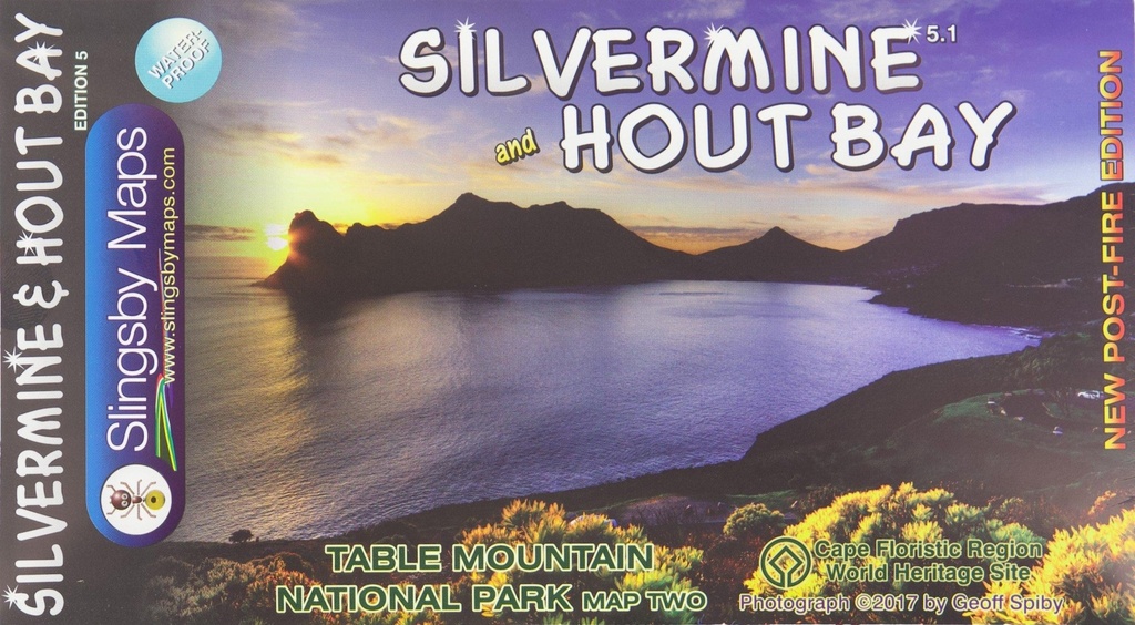
Now with DEM relief shading and a great new cover pic by Geoff Spiby, this post-fire edition includes all the latest changes to the area. The highly detailed maps show all approved paths and include full GPS information; with Silvermine on one side and Hout Bay and Constantiaberg on the reverse, and includes the Hoerikwaggo Trail.
• The Silvermine side covers the Silvermine Reserve and the area from Constantiaberg to Tokai, Zandvlei, Kalkbay, the Fish Hoek valley, Ou Kaapseweg and Noordhoek/Chapman’s Peak.
• The Hout Bay side includes Hout Bay itself, Karbonkelberg, Llandudno, Constantia Nek and south to the Silvermine Reservoir. The map also includes the Constantia Winelands.
• All sections of the Hoerikwaggo Trail are shown. All approved paths, with detailed DDMMSS GPS coordinates for major junctions, are clearly marked with distances and approximate times for each path section. 10 metre contours and delicate colour height shading bring the topography to life.
Specifications:
• Both sides: A2+ full colour maps
• Scale 1:20 000 (5cm = 1km)
• 10m contours; relief shading
• 200m² UTM grid, WGS84
• 10" Long/Lat grid
• Coords in DDMMSS format at important junctions
• WATERPROOF and TEAR RESISTANT in plastic sleeve
• ISBN 978-1-920377-29-8